
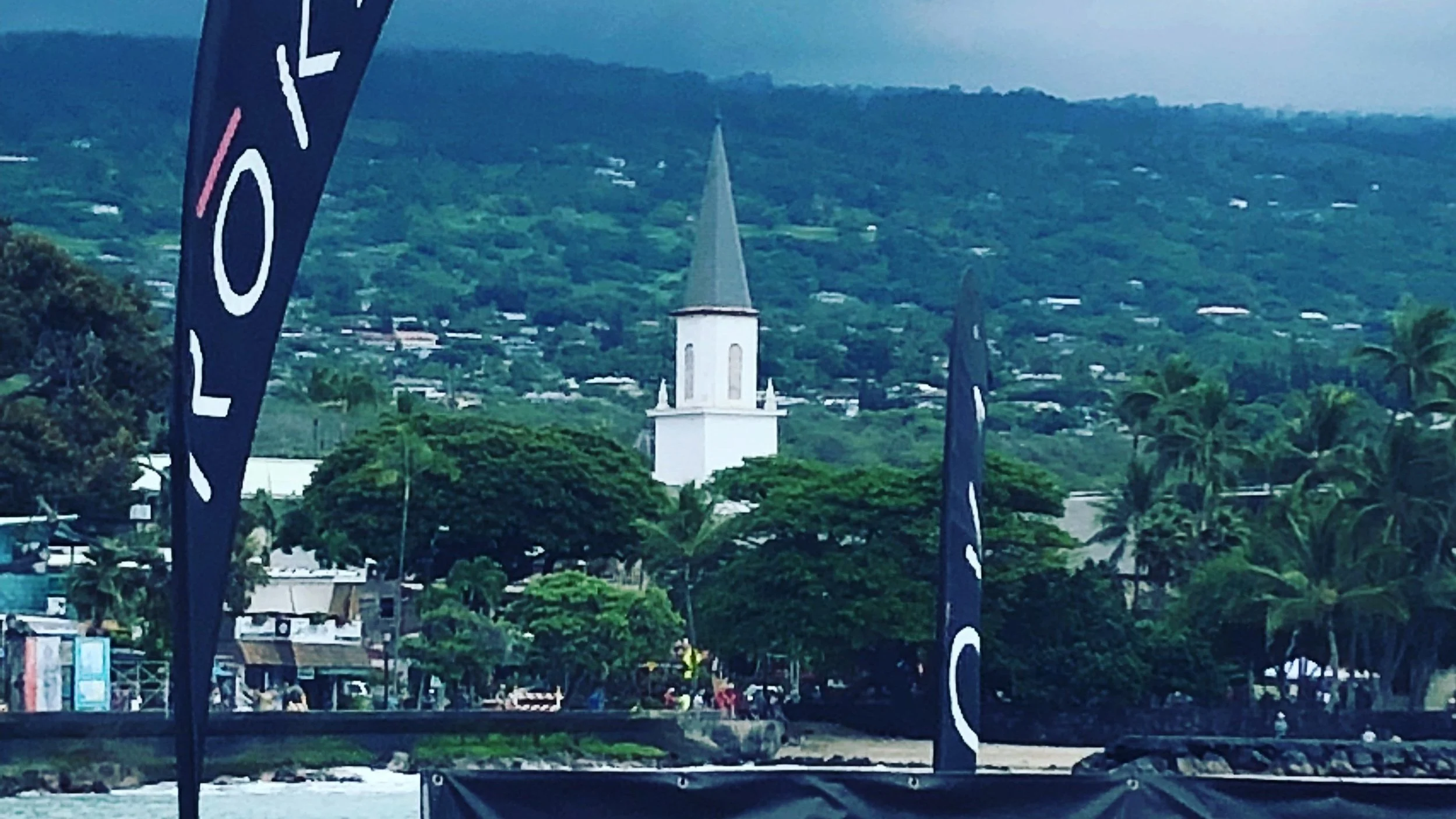
Race Guide: IRONMAN World Championships - Kona
The IRONMAN has been held in Kaliua-Kona, Hawai’i since 1981 and helped to make triathlon a mainstream sport. Traditionally held yearly in early October, it is one of the most sought-after races on the planet. I’ve always looked at racing Kona as a victory lap. If you are looking to race for a podium spot or a PR, this race guide is probably not for you. Here I’ll focus on how to manage the conditions on the course and enjoying the race so you can enjoy your time on the Big Island.
At rolldown, Mike Reilly was fond of saying “Don’t worry. It’s not hot.” Well, it is HOT. And so close to the equator, the sun is nothing to be trifled with. During peak sun hours, you can easily get burned in a half hour. Before getting into the course breakdown, let’s talk about how to manage the heat and sun.
Heat acclimation - for two weeks before the race, undergo heat acclimation. Heat acclimation strategies are a topic for another day, though.
Develop a base - as soon as you land on the island, using a SPF 30-50 sunscreen, start developing a base by spending short bouts of time in the sun. Make sure you find one that is reef-safe.
SPF 100 - I use a SPF 100 sunscreen on pre-race. Also fill a small bottle (e.g. travel-sized shampoo bottle) to carry with you on the run course.
SPF Lip Balm - During my first race in Kona in 2012, my lips got so burned I was miserable for a week. Since then, I’ve carried three on race day. One I’ll carry on me, the second I put in my bento box, and the third in my race belt. This way I always have a backup in case I drop it. Reapply frequently as with the amount you need to drink and will sweat, it will wash away.
Race Belt - Grab a race belt with a pouch. This will allow you to carry your sunscreen, lip balm, salt any anything else you need.
Kit - The ideal kit for this course is a short-sleeved, one-piece kit. The sleeves will protect your shoulders, and the one-piece will protect your tailbone.
Arm and aero calf sleeves - Arm sleeves not only protect you from the sun, they’re also a great place to tuck ice on the run to keep you cool. The calf sleeves will protect your lower legs and save you a few watts.
Knee-high Nylons - On the run course I’ll carry a nylon to fill with ice and drape it around my neck or wherever I need it. I’ll skip the ice cups on the table and fill it in one of the trash barrels they have lined up for drinks and/or ice. The volunteers are generally great about helping you to fill it up.
Bike Gloves - Yes, I know it’s not cool for triathletes to wear bike gloves, but the tops of your hands are one of the places you can get fried because they’re so exposed on the bike. In 2022 I had broken my collarbone. Knowing I wasn’t going to have the strength to stay in aero and would need to sit up more, I opted for a pair of bike gloves. They had the added benefit of sun protection.
Hydration and Salt - The days leading into the race, salt your food and fluids while carb loading. This will help you bind extra water. During the race, you’ll need to increase your fluid intake to stay hydrated. On the bike, I aim for a bottle every 30 minutes. At minimum, I would say a bottle every 45 min. If you’re taking in Gatorade, this should be enough electrolytes. If you’re taking in water, Coke, Red Bull, etc. you may need electrolytes to complement it.
Swim
Swimming in Kaliua Bay is an amazing experience. The water is clear and you can see feet below the surface. On the swim, you’ll be accompanied by schools of fish, possibly sea turtles, and on the rare occasion dolphins.
The course is essentially a 1.2-mile out and back with a short swim (~100 yards) across with the turns usually marked by a sailboat and motorboat, giving you something to site on. The seas generally have long, gentle swells moving into the bay. So as you swim out, you’ll be fighting a slight current with the sun rising on your left. This means you will have some help as you return to shore up until you hit the end of the pier. At this point, it gets a little tougher as the water moves back into the ocean. Coming home you can site on the King Kamehameha Hotel or the Gatorade bottle on the end of the pier.
T1
Exiting the water, you’ll climb some stairs into T1. Take the time to hit the shower, rinsing off the salt before heading into the changing tent. Make sure to grab some sunscreen as you head out of the tent to grab your bike.
Kona is a bit different than your typical IRONMAN. For one, you’ll leave your helmet on your bike instead of placing it in your transition bag. Second, you’re allowed to leave your shoes clipped into your pedals.
Grabbing your bike, and heading to the mount line, make sure you’ve set your gears such that you’re in the small ring in the middle of the cassette. Heading out on the course, you’ll have to climb a short but steep climb to take a left onto Kuakini.
Bike
The bike course is a loop around town before a single out and back to Hawi on the northern tip of the island. We’ll break the course into five segments: the loop through town, to the end of the Queen K highway, Kawaihae, the climb to and descent from Hawi and the journey back to town.
Taking the left onto Kuakini, the road flattens out and this is a good place to settle in as you make your way over to the shopping center on Makala and up to the Queen K. Taking a right onto Palani, for a steep, short, fast and crowded descent. This is the one no-passing zone on the course for good reason. The out and back on Kuakini is pretty non-eventful - just be mindful of spectators. As you round the corner back onto Palani, drop into your small ring for the climb back up to the highway. This entire section of the course is about 8 miles.
While we’ll describe the “typically” winds out on the course, there’s nothing typical about them, and they can shift throughout the day. The direction the wind is blowing as you head out to Hawi may not be the same direction they’re blowing on your way back to town. The wind also tends to be a blessing and a curse on this course. On one hand, it can help you to feel cool. On the other, it can slow you down and make the conditions dangerous at times.
Heading out onto the highway, it’s about a 30 mile haul to the end of the Queen K. This section of the course is flat to gently rolling and you’ll often have a tailwind for the good portion of it. Once you get into the Waikoloa area, the winds can get more variable, often starting to come in from your right.
Taking a left at the end of the Queen K, you descend down to Kawaihae Bay. It’s short, but this is one of my favorite sections of the course as it’s fast, fun and has a great view. At the bottom of the descent, you’ll bear right for the climb to Hawi.
The climb to Hawi is about 18 miles. You’re looking at a solid hour to make the climb and about 45 minutes to get back down. On the way, up the road is marked with mile markers so you can tick off the miles. Also, if you look out across the water, you can often see Maui as a shadow in the distance. You’ll be able to access two aid stations going each way. There’s a fifth aid station at the turnaround along with special needs. The first 11 miles of the climb is rolling, with some brief descents. The last 7 miles tends to be the windiest, with the wind coming in from the east. This means you have a cross wind up until the last 2 miles where the road bends for a full-on headwind. This also means that once you come through the turnaround you can shoot out of Hawi like a rocket. Hawi is also one of the places on the course where you make get a bit of rain and cooler temperatures.
The descent from Hawi, can be one of the most dangerous sections of the course. The cross winds can be gusty, and, caught unawares, you can be blown off the road. If the winds are bad, I tend to sit up until I get down to a more sheltered section of the road. Further into the descent, one of the things to watch out for is the sections where they cut the road through the hillside. Here, the wind turbulence can be sporadic as you move and out of the shelter of the hill.
Hitting the bottom of the descent, you climb out of Kawaihae Bay back to the Queen K. This climb tends to be sheltered and you may feel like you’re roasting in the sun.
Once back on the Queen K, it’s a little over 30 miles back to the pier. The first 15 can be a mixed bag as far as the wind is concerned. Sections of this, you could be coasting at 25 mph or grinding away at 12 mph. The last 15, you’re almost guaranteed to have a headwind. With the last aid station being at mile 103, definitely make sure you stock up. That last stretch always feels way longer than it should. The course will end up merging with the run course, so depending on where you are, you may get a glimpse at the pros and elite age groupers heading out to the Energy Lab.
Taking a right onto Makala, you’ll do a quick stretch through the shopping area again before hitting transition. I’ll slip out of my shoes just before making the corner onto Palani. Coast down to the dismount line and you’re into T2.
T2
There’s not much to say about T2 other than you have to run the perimeter of the Pier.
Run
The run is basically two out and backs. The first out and back is on Ali’i Drive to Pahoehoe Beach Park (~7 miles). The second out and back is along the Queen Q and through the Energy Lab (~19 miles).
The first mile out to Huggo’s is generally flat. From there along Ali’i to the turnaround is rolling with long gentle hills. Ali’i is the only place on this course where you’ll find pockets of shade. On Ali’i, you’ll also find spectators with hoses spraying water. Take these opportunities to stay cool. Making the turnaround at Pahoehoe Beach Park, you have about 3 miles before taking the right onto Palini. Palini is a long, steep climb to run so I’ll walk it and take full advantage of the aid station that’s there.
At the top of Palini, you’ll head out onto the Queen K for the new few hours. The road gently rolls until you hit the entrance to the Energy Lab at about mile 14. Turning into the Energy Lab, you’re looking at about 2.5 miles down to and along the shore to the turnaround. You’ll hit up a couple aid stations, the Red Bull station and special needs. It tends to be a little bit cooler in here as you may get a breeze coming off the water.
Climbing back up to the Queen K, you’ll get back on the highway at mile 19 with 6 miles to go back to the top of Palani at mile 25. This is where I know I’ve done it as it’s all downhill from here. You can hear the finish line in the distance calling you home as you cruise down Palini, around the block onto Ali’i, onto the carpet and across the finish line!